Oklahoma River Development
For over thirty-five years Triad Design Group has played an integral role with Oklahoma City visionaries in the development of the Oklahoma River Corridor. The River’s historic beginning was as a naturally meandering, 7-mile stretch of the North Canadian River (NCR) flowing through the City. After a series of damaging floods beginning in the 1920’s, the river was straightened and redirected with a 1950’s flood mitigation project that turned the NCR into an unsightly drainage ditch bisecting OKC geographically and socially.
In the mid-70’s, city leaders along with Triad engineers developed a series of river master plans to restore the NCR. Triad’s 1980 planning document, the String of Pearls Master Plan, outlined a unique integration of public and private partnerships for development of the 18-mile NCR corridor with trail systems, water features, and recreational areas but the 1980’s oil bust kept the projects from proceeding.
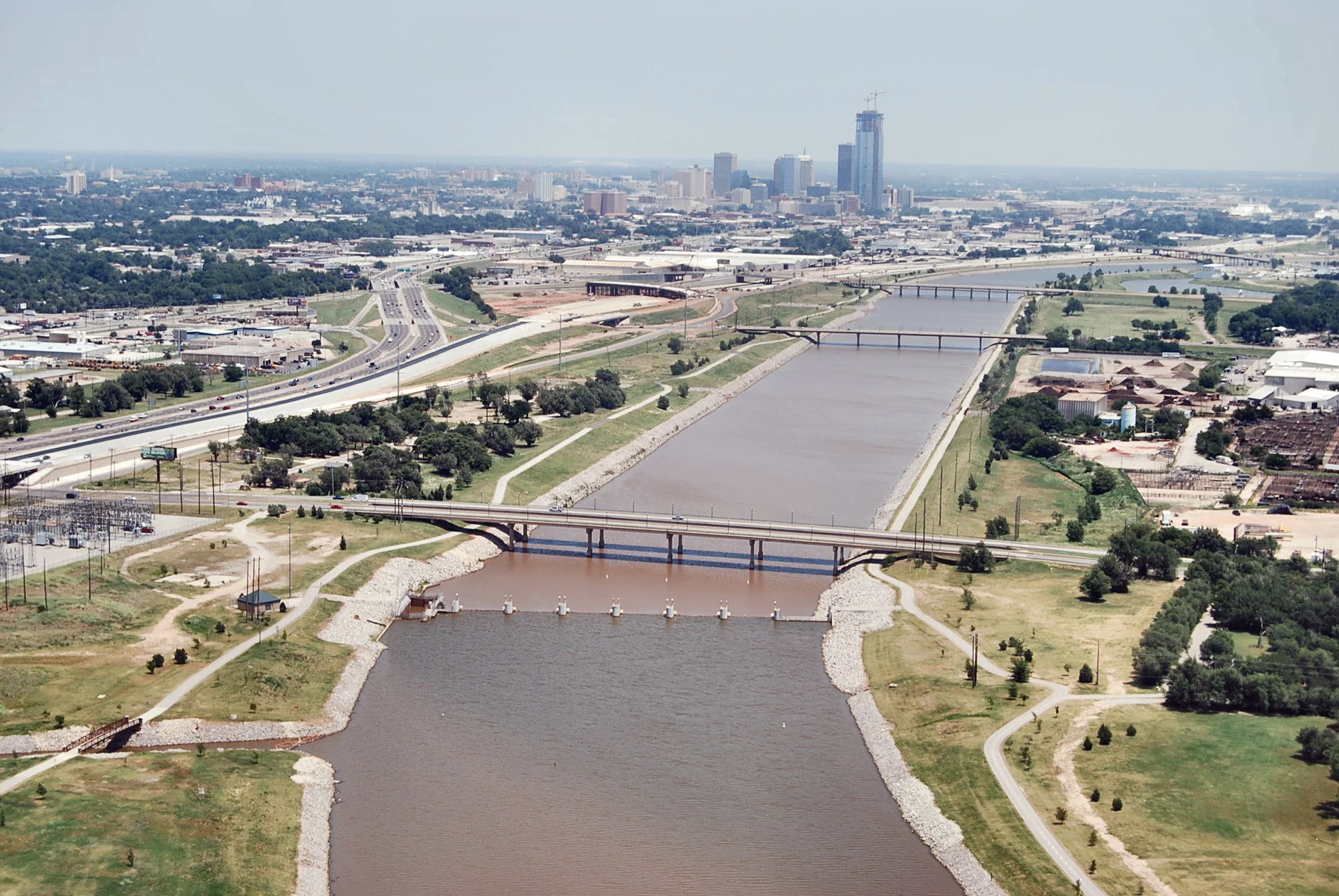
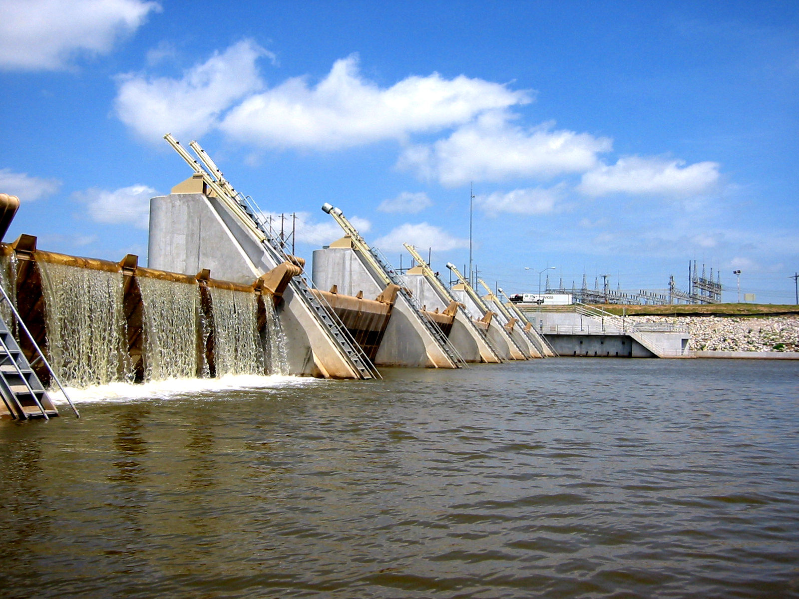
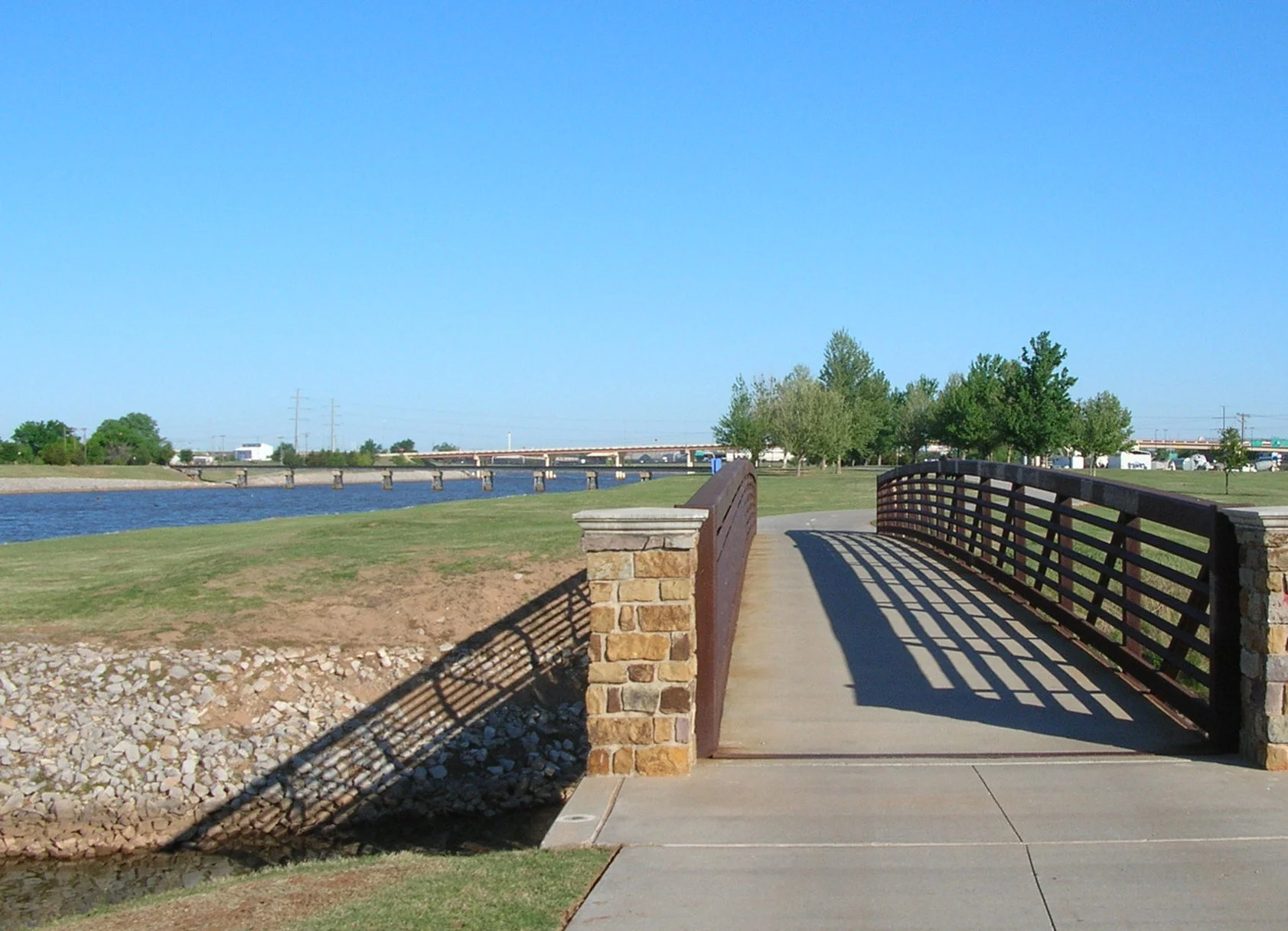
To oversee development efforts, the OCRRA (Oklahoma City Riverfront Redevelopment Authority) was created. The river vision was renewed with the 1993 OKC sales tax for MAPS (Metropolitan Area Projects) which funded nine major City projects including a revitalization project for the Oklahoma River. Triad designed and executed a river corridor plan for OKC which included three low water dams; the Eastern Dam at Lincoln Boulevard, Paul H. Brum, Jr. Dam at Western Avenue, and the May Avenue Dam, to capture the river water in a trio of river lakes. Triad engineers designed the May and Brum dams with operational boat locks, allowing future navigation and opening the possibilities for the economic and recreational boom of contemporary OKC. The plan was completed with 13 miles of multi-use trails and landscaping, restoring the shoreline to its natural beauty.


